Global Health · GIS Strategy · Ethnographic Fieldwork · Project Management
Lake Chad Mapping
Getting maps to match reality across four countries, so vaccine teams could reach settlements the data didn't even know existed.
The Context
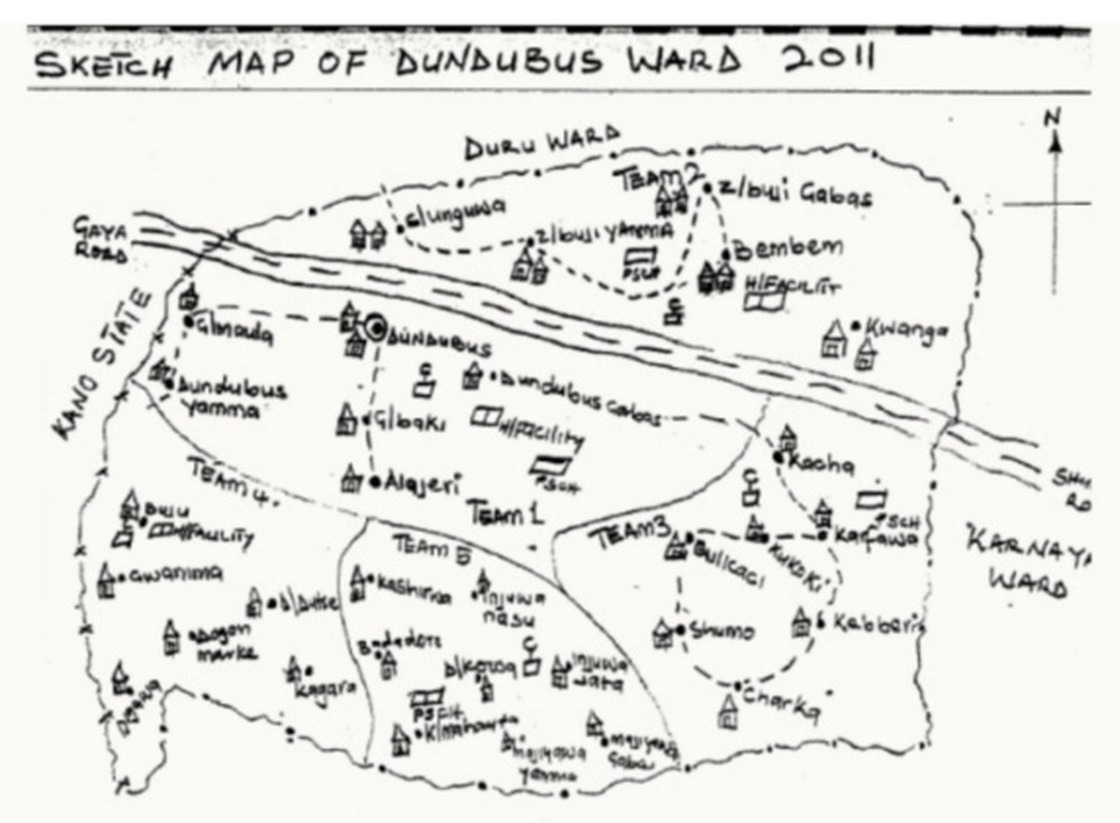
One of the root problems of the polio eradication efforts in the Lake Chad region, was that this area had never been properly mapped. Remote island settlements, nomadic populations, and entire hamlets went undocumented, which meant health workers couldn't be sure every child was actually reached in the effort to knock out polio across Chad, Cameroon, Nigeria, and Niger. Vaccine microplanning was still relying on outdated hand-drawn maps that missed the hamlets and homes that needed it most.
The Ask
My job was to get settlement data right, validating GIS maps against the reality on the ground, culturally and logistically, in coordination with the Ministries of Health in each country and international health organizations across four countries. I led the project itself, coordinating everything from fieldworkers on the ground to internal teams, client relationships, and stakeholder communications.
That work closed the gap between digital health systems and what was actually happening on the ground, cutting blind spots out of the planning process and making safer, more effective delivery possible under some genuinely extreme constraints, remote geography and the security risks posed by Boko Haram activity across the region among them.
The Work
I started with who actually held the trust.
As part of eHealth Africa, I engaged WHO, UNICEF, the Ministries of Health in each country, and island-based facilitators to understand governance structures, trust dynamics, and vaccination histories before touching a single map.
Then I went to understand the place itself.
Ethnographic observation surfaced naming conventions, settlement mobility, and digital access constraints, all the things that could quietly throw off GIS accuracy if missed.
I adapted how we validated the data.
Working with translators and health workers, I helped verify and ensure the data quality of mapped settlements while accounting for linguistic diversity, seasonal movement, and overlapping settlement identities.
I kept the loop open in real time.
I facilitated ongoing communication between on-the-ground data collectors and international teams, so GPS errors, security issues, or infrastructure gaps got flagged as they happened, not after.
And built protocols that could travel.
I co-developed culturally sensitive training and debriefing routines for daily field operations, built around clarity, local adaptation, and ethical use of digital tools.
The Outcome
Here's what it made possible:
Previously Unmapped Settlements
These were settlements that had never been properly recorded, so health authorities couldn't be certain they were being reached. More accurate data meant they finally could be, without doubt.
Increase in Vaccination Coverage
That jump meant real, more equitable access to vaccines for populations that were previously high-risk and hard to reach.
Countries with Integrated Monitoring
With monitoring integrated across all four countries, teams could course-correct in real time, and that agility fed directly into future global eradication efforts.